
Zdjęcia lotnicze – Aerials – Luftbilder
Historyczne zdjęcia lotnicze są niezmiernie przydatnym źródłem informacji. Utrwalony na nich obraz stanowi przedmiot wielozakresowej interpretacji i analizy. Grupa Cztery Historie korzysta z tego typu źródeł od szeregu lat, zarówno na potrzeby własnych badań, jak i przeprowadzając kwerendy dla instytucji oraz osób prywatnych. W swoich zbiorach posiadamy inwentarze na podstawie których wyszukujemy zdjęcia z odpowiednich interesujących rejonów Polski lub innych fragmentów Europy. W swoich badaniach w większości opieramy się na źródłach niemieckich, amerykańskich oraz brytyjskich.
Osoby zainteresowane współpracą zapraszamy do działu kontakt.
[ENG]
Archival aerial photographs have many uses, including:
Archaeological research: They can help identify forgotten or lost sites, such as ruined buildings, fortifications and ancient remains.
Site planning: Aerial photos can be used to determine the exact topography of an area, including the location of roads, rivers, hiking trails and other important infrastructure.
Environmental protection: Aerial photos can be used to monitor changes in the environment, such as increases in air pollution, changes in soil composition and changes in the landscape.
Urban planning and development: Aerial photos can be used for urban planning and design, including the location of new buildings, roads and other infrastructure.
Search assistance: They can help in the search for missing persons or in finding missing aircraft or other vehicles.
Property records: Aerial photos can be used to pinpoint property boundaries and to determine the size and shape of parcels of land.
Scientific research: Aerial photos can be used to study various phenomena, such as erosion, climate change, animal migration and more.
Nasze wpisy powiązane z tematem zdjęć lotniczych:
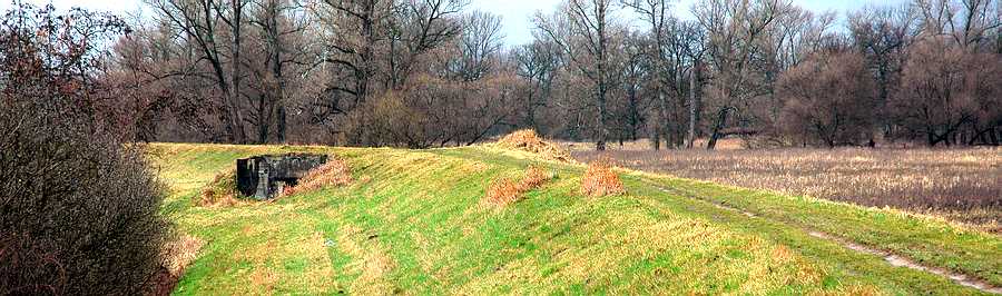
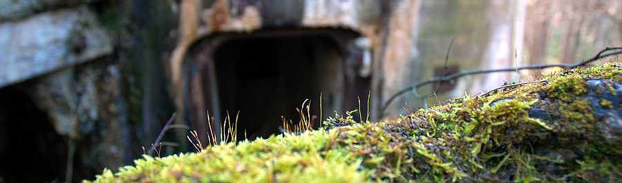
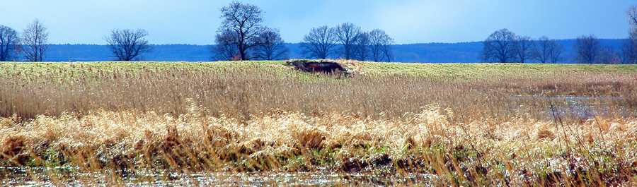
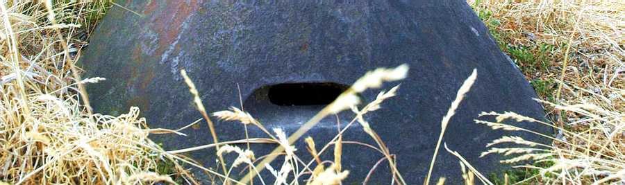
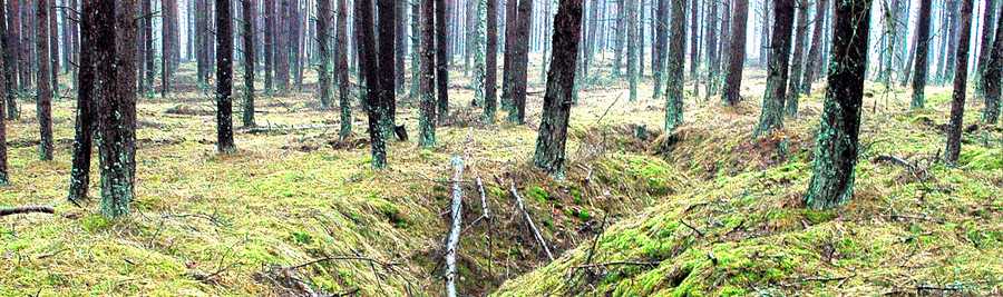
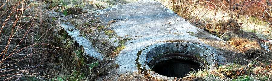
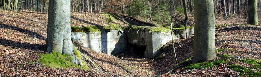
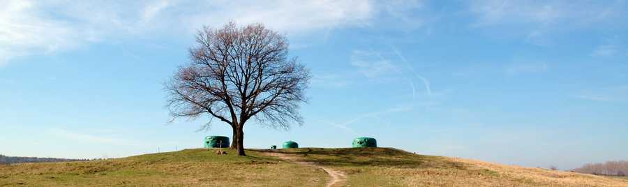
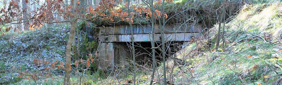
Znikający krajobraz forteczny Sępolna Wielkiego (Pozycja Pomorska)